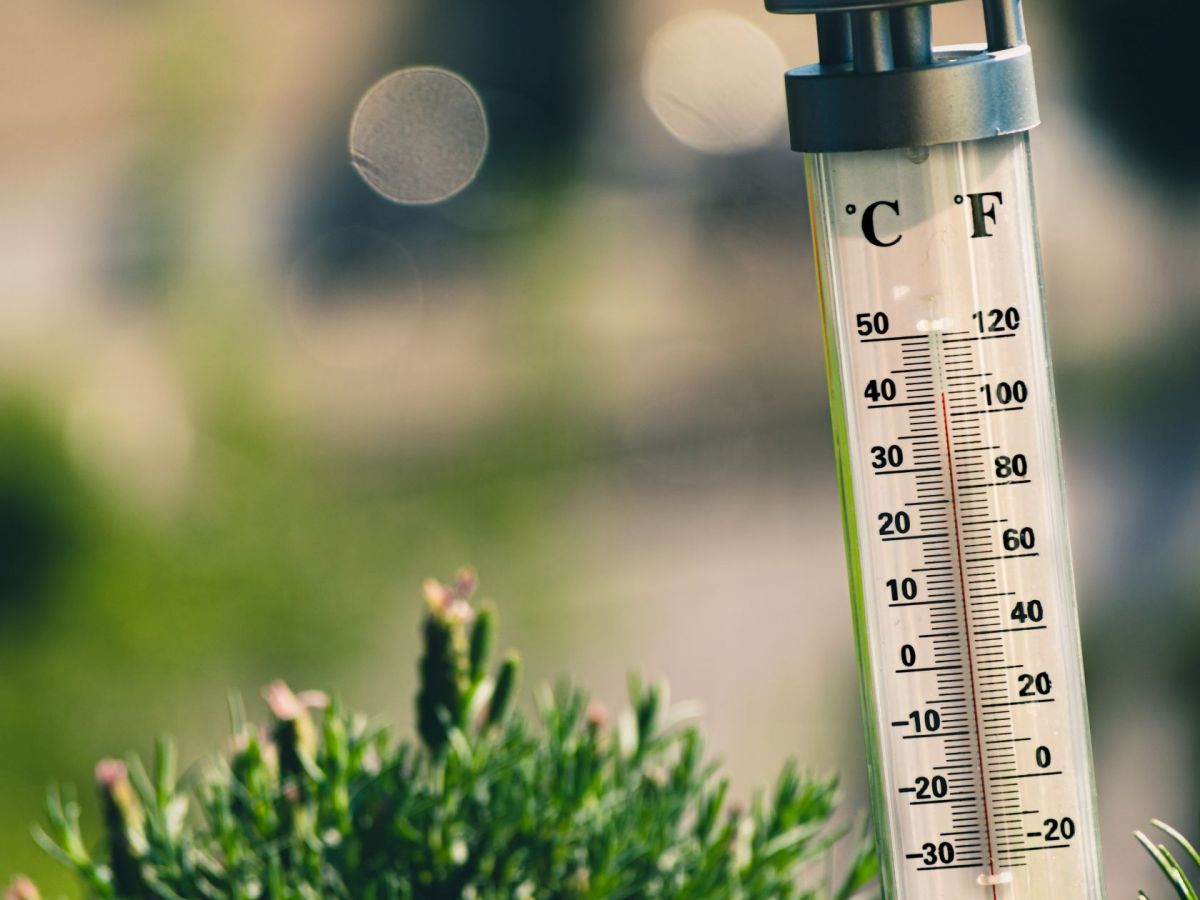
“We are going to see, until at least 13 August, a gradual rise in the maximum temperature. From Friday, it is expected that some places in the interior, especially the interior of the Alentejo and the district of Castelo Branco, will register temperatures above 40 degrees. This is not an abnormal situation, it's a situation that usually occurs every year in the month of August”, meteorologist Patrícia Gomes from the Portuguese Institute of the Sea and Atmosphere (IPMA), told Lusa.
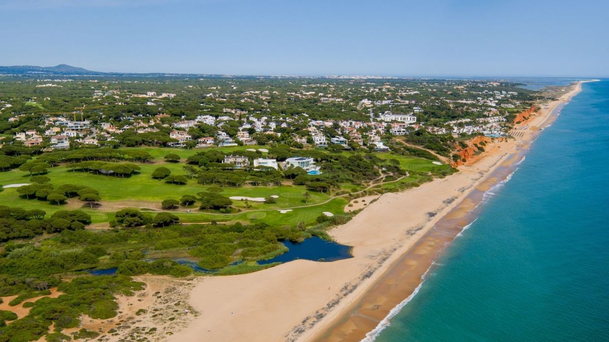
The IPMA expects the highest temperatures to be recorded in the northern and central interior, as well as in the interior of the Alentejo and some parts of the Algarve.
For the north and central coastal areas, a rise in temperature is expected from Friday.
"This situation is due to the movement of a mass of hot air originating in North Africa which ends up causing temperatures to rise throughout the country", said Patrícia Gomes, explaining that it will start inland and will then extend to the coast.
From midday on Wednesday, 11 August and until midday on Friday, 13 August, there are seven districts that will be under a yellow weather warning due to the heat: Vila Real, Bragança, Guarda, Castelo Branco, Portalegre, Évora and Beja.
“It is expected that throughout the rest of the week more districts will also be put under a weather warning,” said Patrícia Gomes, adding that some of those that are on yellow warning as of Wednesday should evolve to orange warning as of Friday.
The high temperatures are set to stay with us until Sunday, 15 August, and it is expected that temperatures will start to fall on Monday however much of the country will still be experiencing temperatures above the 30 degree mark, while areas in Castelo Branco and the Alentejo are to record maximum temperatures above 36 degrees.
The risk of fire, enhanced by factors such as high air temperature, low levels of relative humidity and intense wind, will also increase in the coming days.
“The most significant thing in the coming days will be the low relative humidity values during the day - and, in some places, at night they will also be very low - and the values of the air temperature. In relation to the wind, we will see a decrease in wind intensity from Thursday to Friday and for the weekend it is expected a generally weak wind”, said Patrícia Gomes.





It's time to control with tougher restrictions, the green house gases effect, all the pollution that goes into the atmosphere, into the Oceans. Stop burning fossil fuels into the air we breathe, polluting the environment. Portugal is doing the right thing by using renewable energy. We have the Sun as a resource of energy, the wind, hydro electricity, even the Oceans. Renewable energy is the way to go, if humans want to survive. The world is going to get hotter to the point of no return. The earth can just ignite in fire where all the forests will burn in flames, all the ice in the north and south poles will melt causing the water levels in the Oceans to rise, flooding a lot of countries in lower lying areas. Major Wind and thunderstorms will occur causing major destruction everywhere. There will be famine world wide because of droughts, animals will die, fish and trees, no agriculture, because it'll dry up. People can also die from heat, smoke from forest fires, and famine. It's time to wake up to the new reality. Global warming is real. Governments have to do something now before it's too late.
By Tony from Other on 10 Aug 2021, 20:44
The doomsday prophet has spoken.
By Olov from Algarve on 11 Aug 2021, 05:40
Oh, ok Tony, thanks for that.
By Zjjj-wow from Beiras on 11 Aug 2021, 07:55
Didn't the meteorologist mention, "this wasn't abnormal?" Gawd help us and Tony
By Mikey from Algarve on 11 Aug 2021, 11:05
Tony: "This is not an abnormal situation, it's a situation that usually occurs every year in the month of August”, meteorologist Patrícia Gomes from the Portuguese Institute of the Sea and Atmosphere (IPMA), told Lusa.
By Vfvb from Lisbon on 11 Aug 2021, 13:22