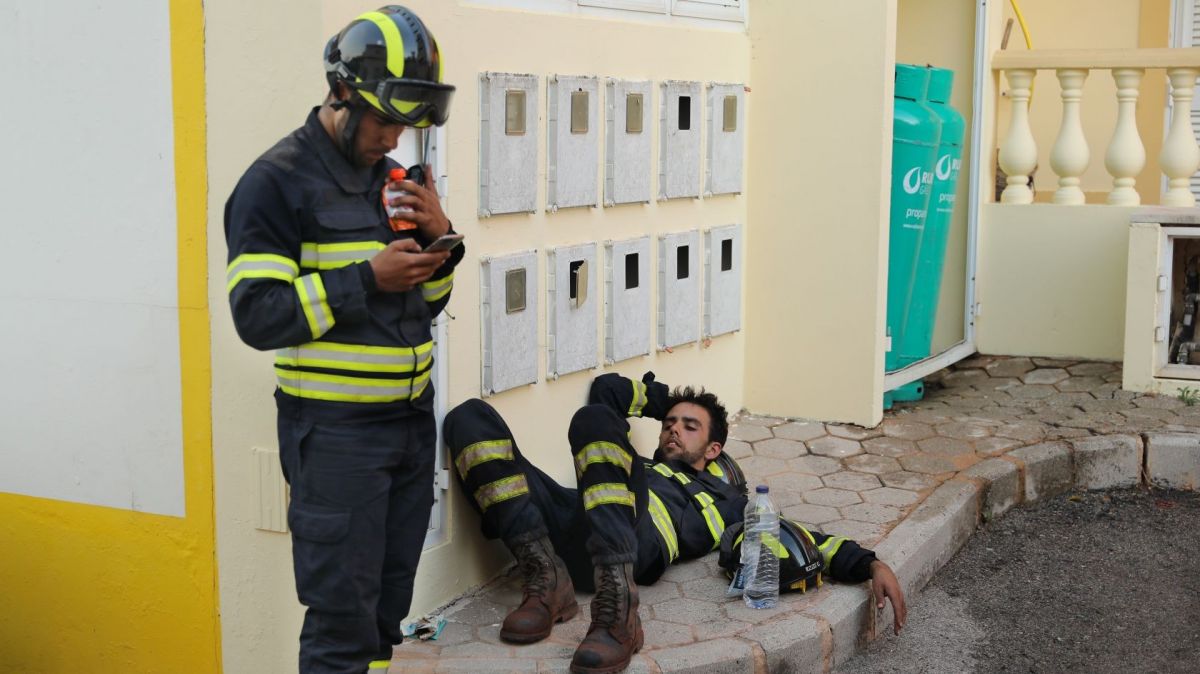
For a week, Madeira has been ravaged by a major fire, with 4,392 hectares of burnt area already recorded.
Based on satellite data collected by the European Forest Fire Information System (Copernicus), the Digital Volunteers Association in Emergency Situations (VOST Portugal), and the fire monitoring platform Fogos.pt, have created a video that shows the size of the area affected by the fire up to 11:42 am on Monday, August 19.
ℹ️ Área afetada pelo #IRMadeira que está em curso desde dia 14 de agosto, vídeo elaborado com base nos dados de satélite recolhidos pelo @CopernicusEMS no dia de ontem (19AGO) às 11h42m. 🔥@CopernicusEMS // @FogosPt pic.twitter.com/G0ppdhY5wP
— VOST Portugal (@VOSTPT) August 20, 2024
It should be noted that the most recent data revealed that, as of 12:00 pm on 20 August, Madeira had recorded 4,392 hectares of burnt area, following the fires affecting the region, according to the president of the Regional Civil Protection Service (SRPC), António Nunes, who cited data from Copernicus.
During 2023, the total area burned in the autonomous region was 5,154 hectares.
Related articles:


