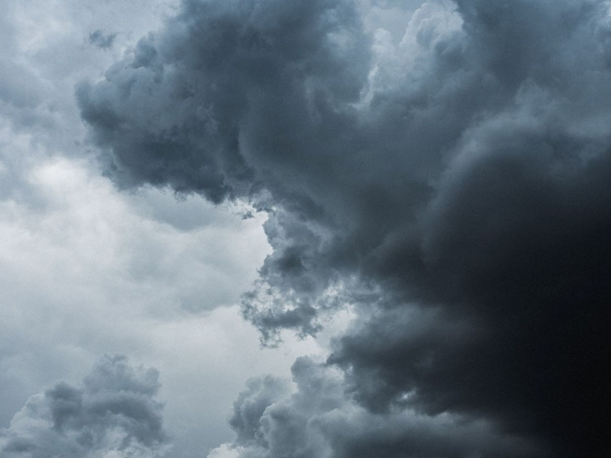
The bad weather is being caused by the effects of the Barra depression, according to meteorologist Maria João Frada.
Although the depression has no direct impact on the continent, the cold front associated with it will approach from Tuesday and cross the entire country until late Wednesday morning.
“The Barra depression is a very shallow depression, it is a high depression at its centre which is in the North Atlantic well northwest of the Azores and will move from east to northeast towards the British Isles. It does not directly influence the weather in mainland Portugal, but there will be some side effects”, she said.
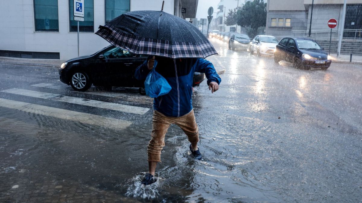
Associated with depression, explained Maria João Frada, is a cold front that will pass on Tuesday (7 December) which will result in persistent rain, especially in the northern and central regions, mainly in the Minho and on the Douro Coast, sometimes being accompanied by thunderstorms and high winds.
The rain will then spread to the rest of the country.
Snow is also expected, especially on Wednesday, above 1,100/1,200 metres and may reach 800/1,000 metres in the mountains in the extreme north of the continental territory.
The effects of depression will also be felt at sea with increasing sea agitation.
The IPMA also forecasts an intensification of wind speeds on the coast with gusts of 60 and 70 kilometres per hour and in the highlands between 85 and 90kpm.
The minimum temperatures will vary between 6 and 10/11 degrees Celsius in some parts of the coastal strip, in the interior north and centre they will not exceed 3 to 4 degrees and in Serra da Estrela they will be negative -1 and -2.
The maximums will oscillate between 10 and 15 degrees, slightly higher in some places along the coastal strip (17) and much lower in the northeast of Trás-os-Montes and Beira Alta (between 6 and 8) and Serra da Estrela will be less than 5.
“This situation is temporary and on the 9th [Thursday] the maximum temperatures go back up by 2 to 5 degrees,” she said.

