According to a statement from the Portuguese Institute of the Sea and Atmosphere (IPMA), depression Domingos, named by the Spanish Meteorological Service, is moving along the Atlantic towards the east, and at 12:00 on Saturday it should be centered in the south of Ireland, with a significant impact on the northern Spanish coast and the Bay of Biscay region, “with very strong wind and sea disturbances”.
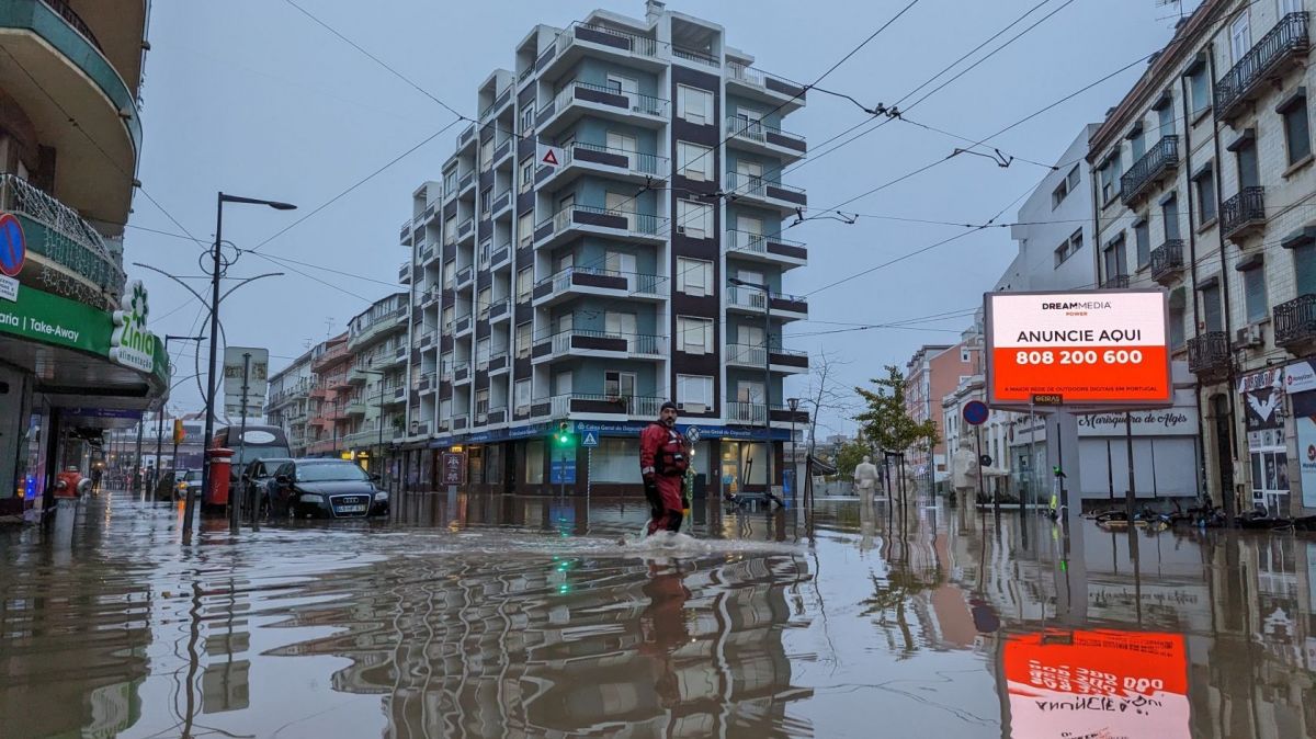
Although mainland Portugal “will not be directly hit by the storm, an associated cold frontal surface” will cross the territory on Saturday, causing “periods of strong and persistent rain on the night and morning of the 4th in the North and Center, especially on the coast and in mountainous regions, gradually changing to showers from the afternoon onwards”, the note reads.
“In the South region, periods of rain are expected, especially during the afternoon of the 4th, but it will generally be moderate to light”, it adds.
The wind will intensify from the end of Friday, “blowing strong from the southwest on the west coast, especially north of Cape Espichel, where gusts could reach 75 to 85 km [kilometers]/hour], and for Sometimes very strong in the highlands, with gusts of up to 110 km/h”, predicts the IPMA.
“The wind will gradually turn westwards from the morning onwards, decreasing in intensity from the end of the afternoon on the 4th”, he said.
The institute highlighted a new increase in maritime agitation on the West coast, with a peak in intensity between late Saturday afternoon and late Sunday morning, “when northwest waves seven to nine meters high are expected, maintaining exceeds five meters by late morning” on Monday.
The cold frontal surface is expected to cross the Madeira archipelago during the end of Saturday, “although without severity”.
“The most significant will be the increase in maritime agitation, which will be from the northwest with a significant height of five to six meters on the 5th on the north coast of the island of Madeira and Porto Santo”, stated the IPMA, advising, due to this meteorological situation, monitoring weather forecasts and warnings.


