The most affected areas are located in the sub-regions of Alto Tâmega, Ave, Região de Aveiro, Tâmega e Sousa and Viseu Dão Lafões, which total 116,211 hectares of burned area, 93% of the burned area across the entire national territory.
According to the European Earth observation system Copernicus, which uses satellite images with spatial resolution of 20 metres and 250 metres, the total area burned since Sunday amounts to 124,493 hectares.
Compared to the previous day, the data shows the lowest daily increase in the last three days, with an additional 3,151 hectares of land being recorded.
Since Tuesday, around 62 thousand hectares have burned in mainland Portugal.
The Viseu Dão Lafões sub-region is currently the area most affected by the fires of the last week, with 50,151 hectares of land burned.
In the Aveiro region, 24,481 hectares have burned since Sunday, mainly in the areas between Oliveira de Azeméis, Albergaria-a-Velha and Águeda.
In the Tâmega e Sousa sub-region, which includes the areas between Felgueiras and Marco de Canaveses, the Copernicus system has recorded 22,445 hectares of burnt area, followed by the Ave sub-region, with 9,943 hectares of burnt area, and Alto Tâmega, where 9,191 hectares have already burned.
According to the Copernicus system, the area burned in mainland Portugal this year now totals 145,763 hectares, consumed by 169 significant fires (with 30 hectares or more of burnt area).
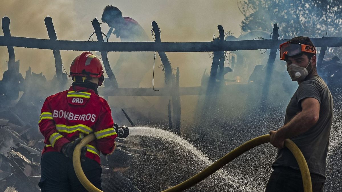
Seven people have died and 161 have been injured due to the fires that have been raging since Sunday, mainly in the North and Centre regions of the country, in the districts of Aveiro, Porto, Vila Real, Braga, Viseu and Coimbra, and which have destroyed dozens of homes.
The National Emergency and Civil Protection Authority (ANEPC) has recorded five deaths, excluding two civilians who died of sudden illness.
The government has declared a state of emergency in all municipalities affected by the fires in recent days, and Friday is a day of national mourning.


